
Dogging in Staffordshire: area guide
Staffordshire stretches from the Potteries and the Peak District edge in the north to Tamworth and Burton upon Trent in the south-east. This guide covers its roads, rail, hills and daylight hours so you can plan a safe trip. It does not list private spots.
- The lie of the land
- Getting about safely
- Daylight through the year
- The law and your safety
- Questions about Staffordshire
- Nearby areas
The lie of the land in Staffordshire
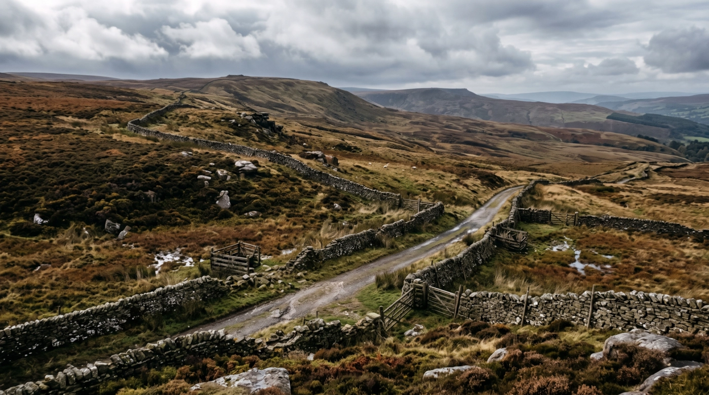
Staffordshire is a long county with two distinct halves. The north has Stoke-on-Trent and Newcastle-under-Lyme, the old Potteries towns, and then rises to the moorland of the Staffordshire Moorlands around Leek. Part of the Peak District National Park falls inside the county here.
The middle and south are gentler. Stafford is the county town, with Lichfield, Cannock, Tamworth and Burton upon Trent spread around it. The Trent runs through the heart of the county, and Cannock Chase is a protected stretch of heath and forest, a National Landscape, just north of the West Midlands.
Because the south borders Birmingham and the Black Country, many drivers come in from the city for a night. Others cross from Cheshire and Derbyshire. A rural road here can be busy at odd hours for no reason you can see from the map.
Getting about safely
The M6 runs north to south through Stafford and Stoke, and the M6 Toll takes a parallel line past Cannock and Lichfield. The A50 links Stoke to Uttoxeter and Derbyshire, the A38 runs past Lichfield and Burton, and the A34 and A500 serve the Potteries. Roadworks on the M6 are common, so check before you set off.
The West Coast Main Line calls at Stafford, and Stoke-on-Trent has its own station on the line between Crewe and Derby. Smaller towns such as Leek have no rail link at all. Buses after dark are patchy. If you are not driving, book a taxi back before you go.
The moorland roads north of Leek climb quickly. Snow and ice can close them from late autumn, and fog sits on the tops when the valleys are clear. On Cannock Chase and the lanes around it, deer cross at dusk and dawn, so slow down. Phone signal drops in the deeper valleys and under the trees, so download a map and tell a friend where you are heading before you leave home. Carry a torch and a warm layer, because help can be a long way off on the high roads.
Daylight in Staffordshire through the year
Typical times for Stafford, in UK local time, around the middle of each month. Use them to plan your journey home as well as your arrival.
| Month | Sunrise | Sunset | Dusk ends |
|---|---|---|---|
| January | 08:13 | 16:22 | 17:03 |
| February | 07:26 | 17:19 | 17:56 |
| March | 06:23 | 18:11 | 18:46 |
| April | 06:11 | 20:07 | 20:44 |
| May | 05:11 | 20:58 | 21:43 |
| June | 04:43 | 21:34 | 22:26 |
| July | 05:02 | 21:25 | 22:13 |
| August | 05:49 | 20:34 | 21:14 |
| September | 06:42 | 19:24 | 19:59 |
| October | 07:34 | 18:13 | 18:48 |
| November | 07:31 | 16:14 | 16:53 |
| December | 08:14 | 15:52 | 16:35 |
Dusk ends is when civil twilight finishes, usually 30 to 50 minutes after sunset in southern England and longer further north. After that you need lights. Times shift by a few minutes across the area.
The law and your safety
England and Wales: sex outdoors is not automatically an offence. It can become one if members of the public are likely to see it. Charities such as the Terrence Higgins Trust give the same advice. Read their public sex environments guide.
Wherever you are, the basics don't change. Get a clear yes from everyone. Tell someone where you're going. Stay sober. Keep out of sight of anyone who hasn't agreed to see you. Use condoms, and use a new one with each partner.
Questions about Staffordshire
Is dogging legal in Staffordshire?
Having sex outdoors is not automatically a crime in England and Wales. It becomes an offence when members of the public can see it, for example outraging public decency or indecent exposure. Sex in a public toilet is an offence. This is general information, not legal advice.
Do you list dogging spots in Staffordshire?
No. This guide covers the area, not private places. We don't name car parks, lay-bys or woods, because other people use them too and visitors can end up in trouble.
Does the Staffordshire guide include Stoke-on-Trent?
Yes. Stoke-on-Trent and Newcastle-under-Lyme are in the guide, along with Stafford, Lichfield, Tamworth, Burton upon Trent and the Moorlands.
How bad is the weather on the Staffordshire moors?
It can turn quickly. Snow, ice and fog can close high roads from late autumn into spring, even when the lowlands look clear. Check the forecast and the road status before you head up.
Which guide should I use near Birmingham?
For the city and the Black Country, use the West Midlands guide. This one covers the county around it.
Nearby areas
Meet other adults in Staffordshire
Join free, add Staffordshire to your profile and message other adults nearby.
Join free and build your profileFree to join. Build a profile, browse, and message other adults.