
Dogging in Derbyshire: area guide
Derbyshire splits in two: a busy, flat south and east, and the high Peak District to the north and west. This guide covers the roads, the trains, the weather and the daylight hours. It doesn't point you to any private spots.
- The lie of the land
- Getting about safely
- Daylight through the year
- The law and your safety
- Questions about Derbyshire
- Nearby areas
The lie of the land in Derbyshire
Derbyshire has two faces. Derby sits in the south, on the River Derwent, and is the county's only city. Chesterfield, Ilkeston, Long Eaton, Swadlincote and the old mining towns of the east are all low-lying and built up. Here the M1 runs along the edge and the county runs into Nottinghamshire and South Yorkshire without much of a break.
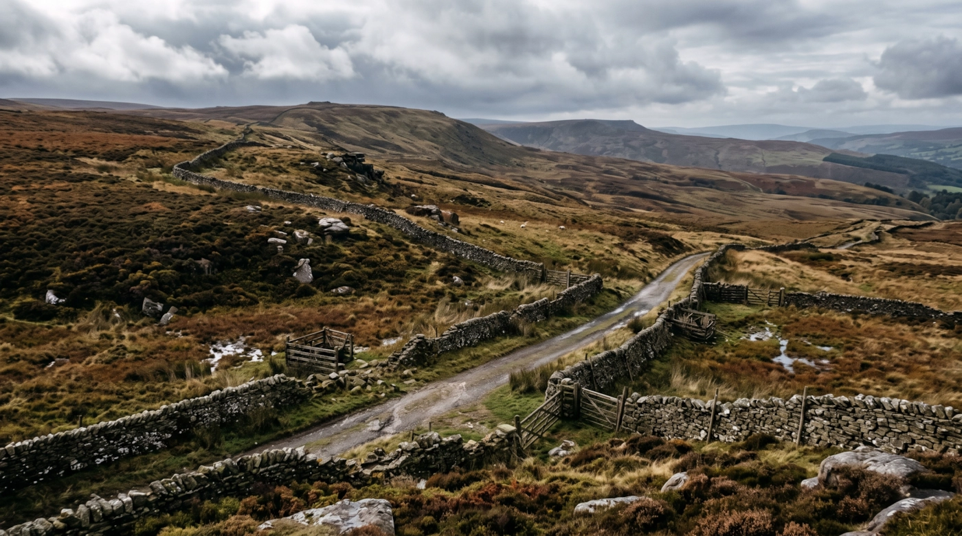
Head north and west and the ground rises fast. Much of the county sits inside the Peak District National Park, the first in Britain. The south of it is the White Peak, with pale limestone, steep dales and drystone walls. The north is the Dark Peak, with gritstone edges and bare moorland. Buxton, Matlock, Bakewell and Ashbourne are the main market towns of the hills, and Glossop sits on the western edge facing Greater Manchester.
That mix draws people from every side. Some drive up from Derby and Nottingham, others come over from Sheffield and Manchester, and many pass through on the way to somewhere else. The hills are a long way from the city lights, and they are often emptier than they look on a map. That is a good reason to read up on the ground before you go anywhere.
Getting about safely
The M1 runs up the eastern side of the county, with the A38 and A52 crossing through Derby. The A6 follows the Derwent Valley through Belper and Matlock into the Peak. Across the high ground the main routes are the A515, the A53 to Buxton and the A57 Snake Pass towards Sheffield. The Snake Pass and the A628 Woodhead route are among the first roads to close when snow or fog arrives, so check before you set off.
Derby has direct trains to London St Pancras, Birmingham, Sheffield and Nottingham. The Derwent Valley line runs on to Matlock, and Buxton and the Hope Valley are served from Manchester. Services thin out after about 10pm, and some branch lines stop earlier, so look up the last train before you leave and not once you are out.
Away from the main roads, lanes in the dales are steep and narrow, with walls on both sides and nowhere to pull in. Most are unlit. Mobile signal drops out in the deeper valleys, and the high moors can be in cloud when Derby is clear. Ice sits in shaded bends long after the towns have thawed. The Derwent and its tributaries flood low roads around Matlock, Belper and Derby after heavy rain, and floodwater can be deeper than it looks. If a road is under water, turn round.
Daylight in Derbyshire through the year
Typical times for Derby, in UK local time, around the middle of each month. Use them to plan your journey home as well as your arrival.
| Month | Sunrise | Sunset | Dusk ends |
|---|---|---|---|
| January | 08:11 | 16:19 | 17:00 |
| February | 07:23 | 17:16 | 17:53 |
| March | 06:21 | 18:09 | 18:44 |
| April | 06:08 | 20:04 | 20:42 |
| May | 05:08 | 20:56 | 21:41 |
| June | 04:40 | 21:32 | 22:24 |
| July | 04:59 | 21:23 | 22:12 |
| August | 05:46 | 20:32 | 21:12 |
| September | 06:39 | 19:21 | 19:57 |
| October | 07:31 | 18:10 | 18:46 |
| November | 07:29 | 16:11 | 16:50 |
| December | 08:12 | 15:49 | 16:31 |
Dusk ends is when civil twilight finishes, usually 30 to 50 minutes after sunset in southern England and longer further north. After that you need lights. Times shift by a few minutes across the area.
The law and your safety
England and Wales: sex outdoors is not automatically an offence. It can become one if members of the public are likely to see it. Charities such as the Terrence Higgins Trust give the same advice. Read their public sex environments guide.
Wherever you are, the basics don't change. Get a clear yes from everyone. Tell someone where you're going. Stay sober. Keep out of sight of anyone who hasn't agreed to see you. Use condoms, and use a new one with each partner.
Questions about Derbyshire
Is dogging legal in Derbyshire?
Having sex outdoors is not automatically a crime in England and Wales. It becomes an offence when members of the public can see it, for example outraging public decency or indecent exposure. Sex in a public toilet is an offence. This is general information, not legal advice.
Do you list dogging spots in Derbyshire?
No. This guide covers the area, not private places. We don't name car parks, lay-bys or woods, because other people use them too and visitors can end up in trouble.
Is this guide only for Derby?
No. It covers the whole county, from Derby and Chesterfield to Buxton, Matlock, Ashbourne and Glossop, plus the Derbyshire side of the Peak District.
Which Derbyshire roads close first in winter?
The Snake Pass (A57) and the Woodhead route (A628) are the usual ones, along with some high roads around Buxton. Check live traffic updates before any trip across the Peak.
Does the Peak District National Park all count as Derbyshire?
No. The park crosses into Staffordshire, Cheshire, Greater Manchester and South and West Yorkshire as well. This guide covers the Derbyshire share.
Meet other adults in Derbyshire
Join free, add Derbyshire to your profile and message other adults nearby.
Join free and build your profileFree to join. Build a profile, browse, and message other adults.