
Dogging in Tayside and Stirling: area guide
Tayside and Stirling covers a wide belt of central Scotland, from Stirling and Perth to Dundee and Angus, with hills close to every town. This guide covers roads, rail, winter weather and daylight by month. It does not list private spots.
- The lie of the land
- Getting about safely
- Daylight through the year
- The law and your safety
- Questions about Tayside and Stirling
- Nearby areas
The lie of the land in Tayside and Stirling
Stirling guards the old crossing of the River Forth and opens onto the Trossachs. Perth sits on the Tay, with Dundee on the broad Firth of Tay to the east. Further north and east you reach Angus, with Forfar and Brechin inland and Arbroath and Montrose on the coast. In Perthshire, Crieff, Pitlochry, Blairgowrie and Aberfeldy lie close to the hills.
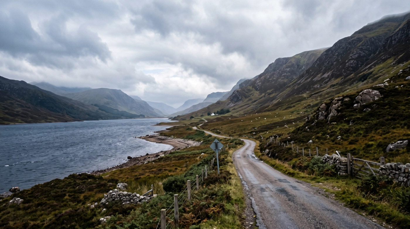
The Highland Boundary Fault runs through the area, and you can feel it on the road. Lowland farmland and the fertile Carse of Gowrie give way to glens, lochs and high ground. Loch Lomond and the Trossachs National Park covers the west, and the Cairngorms National Park reaches the northern edge. The Sidlaw Hills lie behind Dundee.
The cities are compact, so many people drive from Dundee, Perth or Stirling out into the countryside. Quiet farm roads and forest edges can see more traffic than you would guess, and that is one reason we do not name places.
Getting about safely
The M9 links Edinburgh, Stirling and Dunblane, and the A9 carries on north from Dunblane through Perth towards Inverness. The M90 runs from the Forth into Perth. The A90 joins Perth and Dundee, then carries on inland past Forfar and Brechin to Aberdeen. Dundee also has the Tay Road Bridge to Fife.
Trains run from Edinburgh and Glasgow to Stirling, Perth and Dundee, with the Aberdeen line stopping at Arbroath and Montrose. The Highland Main Line heads north from Perth through Pitlochry. Last trains in the evening are earlier than most people expect, so check your last train or arrange a taxi.
Winter matters here. High roads such as the A93 over Glenshee and the A9 through the Pass of Drumochter can close in snow, and the A84 and A85 around Callander and Loch Earn can ice over. Fog sits in the Tay estuary and in glens. Signal fails in many valleys, and some single-track lanes have no lighting. Carry warm clothing, keep fuel in the tank and share your plans with a friend.
Daylight in Tayside and Stirling through the year
Typical times for Perth, in UK local time, around the middle of each month. Use them to plan your journey home as well as your arrival.
| Month | Sunrise | Sunset | Dusk ends |
|---|---|---|---|
| January | 08:37 | 16:08 | 16:54 |
| February | 07:41 | 17:15 | 17:55 |
| March | 06:30 | 18:16 | 18:54 |
| April | 06:08 | 20:20 | 21:02 |
| May | 04:59 | 21:21 | 22:13 |
| June | 04:24 | 22:04 | 23:09 |
| July | 04:45 | 21:52 | 22:50 |
| August | 05:42 | 20:52 | 21:36 |
| September | 06:44 | 19:32 | 20:10 |
| October | 07:45 | 18:12 | 18:51 |
| November | 07:51 | 16:03 | 16:47 |
| December | 08:41 | 15:35 | 16:24 |
Dusk ends is when civil twilight finishes, usually 30 to 50 minutes after sunset in southern England and longer further north. After that you need lights. Times shift by a few minutes across the area.
The law and your safety
Wherever you are, the basics don't change. Get a clear yes from everyone. Tell someone where you're going. Stay sober. Keep out of sight of anyone who hasn't agreed to see you. Use condoms, and use a new one with each partner.
Questions about Tayside and Stirling
Do you list dogging spots in Tayside and Stirling?
No. This guide covers the area, not private places. We don't name car parks, lay-bys or woods, because other people use them too and visitors can end up in trouble.
What does the Tayside and Stirling guide cover?
Stirling and Forth Valley, Perth and Kinross, Dundee and Angus, and the edges of the Trossachs and Cairngorms national parks.
Are winter road closures common?
On the high roads, yes. The A93 over Glenshee and the A9 at Drumochter can close or have restrictions in snow. Check conditions before you set off, and carry warm gear.
Which guide should I use for Fife or Aberdeen?
Fife, over the Tay Road Bridge, has its own guide. North of Montrose and into Aberdeenshire, use the Aberdeen and the North East guide.
Meet other adults in Tayside and Stirling
Join free, add Tayside and Stirling to your profile and message other adults nearby.
Join free and build your profileFree to join. Build a profile, browse, and message other adults.