
Dogging in Fife: area guide
Fife is a peninsula between the Forth and the Tay, with former coalfield towns, a long coast and open farmland. This guide covers roads, bridges, rail, haar and daylight by month. It does not list private spots.
- The lie of the land
- Getting about safely
- Daylight through the year
- The law and your safety
- Questions about Fife
- Nearby areas
The lie of the land in Fife
Fife is a peninsula, bordered by the Firth of Forth to the south and the Firth of Tay to the north. Dunfermline is the old capital and the largest town. Kirkcaldy, Glenrothes, Leven, Cowdenbeath and Rosyth make up most of the population, while St Andrews and Cupar serve the north and east.
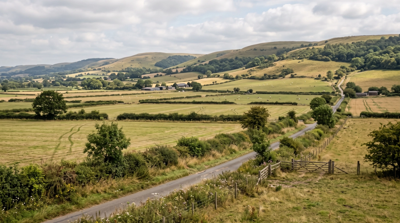
The south is a belt of former coal and industrial towns facing the Forth. The East Neuk is a string of fishing villages with red pantile roofs, stretching from Elie to Crail. In the middle, the Lomond Hills rise above farmland, with the Howe of Fife below them. The north has the Tay shore and wide fields.
Most of the county is within an hour of Edinburgh, so travel often runs across the water. Quiet farm lanes in the Howe can attract steady traffic on random evenings, with no sign why.
Getting about safely
The M90 comes off the Queensferry Crossing, runs past Dunfermline and heads north to Perth. Two older bridges stand beside it: the Forth Road Bridge, now used by buses, cyclists and walkers, and the Forth Bridge for trains. The A92 runs east through Kirkcaldy and Glenrothes towards the Tay, and the A91 reaches St Andrews. The Tay Road Bridge joins Fife to Dundee at the north end.
Rail is limited to a few lines. The Fife Circle runs around Dunfermline, Cowdenbeath and Kirkcaldy to Edinburgh, and the Edinburgh to Dundee line serves Kirkcaldy, Markinch and Leuchars. St Andrews has no train station itself. The East Neuk has no rail at all, so you rely on road. Check last services, because the late-evening choice is thin.
Haar can sweep in from the North Sea, particularly on the East Neuk and along the Forth, cutting visibility sharply on a bright day. In strong winds the Tay Road Bridge can have restrictions or closures, and the Queensferry Crossing can have restrictions too, although its wind shielding keeps it open in much higher winds than the old Forth Road Bridge. Rural lanes are often unlit and bendy, with tractors and wide loads. Signal is mostly good, but patchy in the Lomonds.
Daylight in Fife through the year
Typical times for Kirkcaldy, in UK local time, around the middle of each month. Use them to plan your journey home as well as your arrival.
| Month | Sunrise | Sunset | Dusk ends |
|---|---|---|---|
| January | 08:35 | 16:09 | 16:54 |
| February | 07:39 | 17:15 | 17:54 |
| March | 06:29 | 18:15 | 18:53 |
| April | 06:07 | 20:18 | 21:00 |
| May | 05:00 | 21:19 | 22:10 |
| June | 04:25 | 22:01 | 23:05 |
| July | 04:46 | 21:49 | 22:46 |
| August | 05:42 | 20:50 | 21:34 |
| September | 06:43 | 19:30 | 20:09 |
| October | 07:43 | 18:12 | 18:50 |
| November | 07:49 | 16:04 | 16:47 |
| December | 08:38 | 15:36 | 16:24 |
Dusk ends is when civil twilight finishes, usually 30 to 50 minutes after sunset in southern England and longer further north. After that you need lights. Times shift by a few minutes across the area.
The law and your safety
Wherever you are, the basics don't change. Get a clear yes from everyone. Tell someone where you're going. Stay sober. Keep out of sight of anyone who hasn't agreed to see you. Use condoms, and use a new one with each partner.
Questions about Fife
Do you list dogging spots in Fife?
No. This guide covers the area, not private places. We don't name car parks, lay-bys or woods, because other people use them too and visitors can end up in trouble.
Which parts of Fife does the guide cover?
All of it, from Dunfermline and Kirkcaldy to St Andrews and the East Neuk, plus the Lomond Hills and the coast.
What happens to the Forth bridges in high wind?
Strong winds can bring restrictions to the Tay Road Bridge and, less often, the Queensferry Crossing, especially for lorries and other tall vehicles. Look at live travel updates before heading out, and allow extra time for a detour.
Which guide do I use if I cross the water?
Over the Forth, use the Edinburgh and the Lothians guide. Over the Tay, use Tayside and Stirling.
Meet other adults in Fife
Join free, add Fife to your profile and message other adults nearby.
Join free and build your profileFree to join. Build a profile, browse, and message other adults.