
Dogging in Aberdeen and the North East: area guide
Aberdeen and the North East covers a large, exposed corner of Scotland, from the granite city to Deeside, Buchan and the Moray coast. This guide covers roads, weather, daylight by month and safer travel. It does not list private spots.
- The lie of the land
- Getting about safely
- Daylight through the year
- The law and your safety
- Questions about Aberdeen and the North East
- Nearby areas
The lie of the land in Aberdeen and the North East
Aberdeen is the hub, a granite port city with an airport at Dyce and a big harbour. Around it, Aberdeenshire runs out to Peterhead and Fraserburgh on the Buchan coast, to Stonehaven in the south and inland to Inverurie, Ellon, Huntly and Banchory. Moray sits to the north-west, with Elgin, Forres and the coast towns along the Moray Firth.
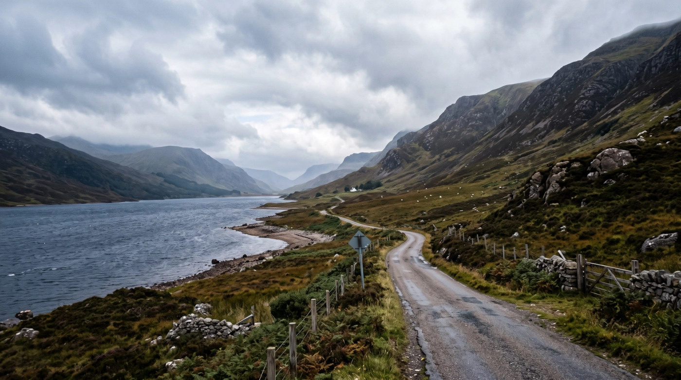
West of the city the land climbs. Royal Deeside and Donside lead into the eastern Cairngorms National Park, with high moors, forestry and long glens. Buchan is flatter, with big skies and open farmland, and the cliffs near Stonehaven and the dunes and long beaches north of the city are only a short drive away.
Distances between towns are bigger than they look on a map. Quiet roads on the edge of a village can stay surprisingly busy late into the evening, without any clear cause.
Getting about safely
The Aberdeen Western Peripheral Route gives a fast bypass around the city and links the A90 north and south. The A90 runs south to Stonehaven and Dundee and north to Peterhead and Fraserburgh. The A96 heads north-west through Inverurie, Huntly and Keith to Elgin and Inverness. The A93 follows Deeside towards Braemar. Rush hour is heavy at the river crossings in and out of the city.
Trains run from Aberdeen south to Dundee and Edinburgh, and north-west to Inverurie, Huntly, Keith, Elgin and Inverness. There is no passenger line to Peterhead or Fraserburgh, so buses and cars take over. Evening services are limited, so check your last train or arrange a taxi home.
Weather is a real hazard. Sea fret, a cold fog off the North Sea, can blanket the coast in summer. In winter, heavy snow can close high routes such as the A939 over the Lecht and parts of the A93, and ice builds quickly on country roads. Winds are strong on open Buchan roads. Many rural roads are unlit with deer, so slow down at dusk. Signal drops in the glens. Carry warm clothing and tell someone your plan.
Daylight in Aberdeen and the North East through the year
Typical times for Aberdeen, in UK local time, around the middle of each month. Use them to plan your journey home as well as your arrival.
| Month | Sunrise | Sunset | Dusk ends |
|---|---|---|---|
| January | 08:37 | 15:58 | 16:46 |
| February | 07:38 | 17:07 | 17:48 |
| March | 06:25 | 18:10 | 18:49 |
| April | 06:01 | 20:17 | 20:59 |
| May | 04:50 | 21:20 | 22:15 |
| June | 04:12 | 22:05 | 23:15 |
| July | 04:35 | 21:52 | 22:53 |
| August | 05:34 | 20:49 | 21:35 |
| September | 06:38 | 19:27 | 20:06 |
| October | 07:41 | 18:05 | 18:45 |
| November | 07:50 | 15:54 | 16:39 |
| December | 08:41 | 15:24 | 16:15 |
Dusk ends is when civil twilight finishes, usually 30 to 50 minutes after sunset in southern England and longer further north. After that you need lights. Times shift by a few minutes across the area.
The law and your safety
Wherever you are, the basics don't change. Get a clear yes from everyone. Tell someone where you're going. Stay sober. Keep out of sight of anyone who hasn't agreed to see you. Use condoms, and use a new one with each partner.
Questions about Aberdeen and the North East
Do you list dogging spots in Aberdeen and the North East?
No. This guide covers the area, not private places. We don't name car parks, lay-bys or woods, because other people use them too and visitors can end up in trouble.
What does the Aberdeen and the North East guide cover?
Aberdeen, Aberdeenshire and Moray, including Deeside, Buchan, the eastern Cairngorms edge and the Moray Firth coast.
Which roads close first in winter?
High roads in the Cairngorms area, such as the A939 over the Lecht and the upper A93, are often the first to close. Check conditions before you leave.
Which guide should I use for Inverness?
Inverness and the Highlands are covered in the Highlands and Argyll guide. Elgin and Forres stay in this one.
Nearby areas
Meet other adults in Aberdeen and the North East
Join free, add Aberdeen and the North East to your profile and message other adults nearby.
Join free and build your profileFree to join. Build a profile, browse, and message other adults.