
Dogging in Borders and Dumfries and Galloway: area guide
The Borders and Dumfries and Galloway form Scotland's long southern edge, with rolling hills, quiet towns and the Solway coast. This guide covers roads, rail, tides and daylight by month. It does not list private spots.
- The lie of the land
- Getting about safely
- Daylight through the year
- The law and your safety
- Questions about Borders and Dumfries and Galloway
- Nearby areas
The lie of the land in Borders and Dumfries and Galloway
Two council areas make up this southern strip. The Scottish Borders has Galashiels, Hawick, Kelso, Melrose, Peebles, Selkirk and Jedburgh, with Eyemouth on the coast. Dumfries and Galloway has Dumfries, Lockerbie, Annan, Gretna, Castle Douglas, Kirkcudbright, Newton Stewart and Stranraer.
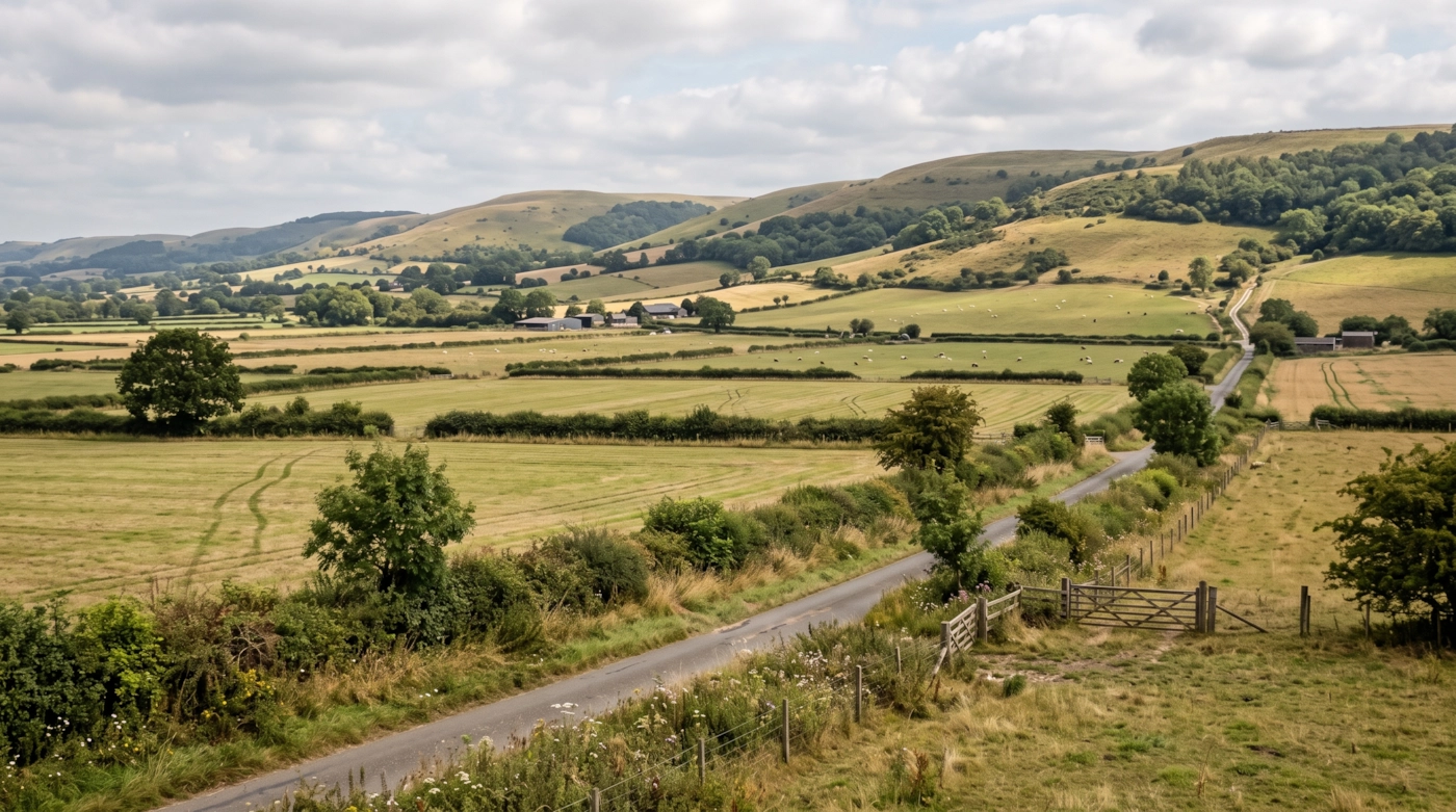
The Southern Uplands run across the whole area. The Tweed Valley and the Cheviot foothills give rolling green hills in the east, while the Lowther Hills rise in the middle. Galloway has big forests, with the Galloway Forest Park and its dark skies. The Solway Firth forms the southern shore, with wide mudflats and the Rhins of Galloway pointing out to the west.
Towns are small and far apart, and traffic is light most of the day. Even a sleepy corner of a small town can see unexpected comings and goings after dark, so there is no point guessing where.
Getting about safely
The M74 and A74(M) carry traffic from Gretna north towards Glasgow, climbing over Beattock Summit. The A75 crosses Galloway from Gretna to Stranraer, with the A77 carrying on to the Cairnryan ferries, so lorries and ferry traffic are common. The A7 links Carlisle, Hawick and Galashiels, the A68 runs from Jedburgh towards Edinburgh and Newcastle, and the A1 clips the Berwickshire coast. The A702 and A701 climb into hill country.
Rail is patchy. The Borders Railway runs from Edinburgh to Tweedbank, near Galashiels, and the Glasgow South Western line passes through Dumfries towards Carlisle and Kilmarnock. The West Coast Main Line stops at Lockerbie. Hawick, Kelso and Newton Stewart have no passenger trains. Check last services, as evening cover is thin.
The Solway has fast-moving tides, deep creeks and shifting channels, so keep well clear of the mud at the Dumfries and Galloway shore. Hill roads such as the A708 by St Mary's Loch and the A701 can ice or flood, and fog collects on the Lowther Hills. Sheep wander onto unfenced roads and deer cross at dusk. Signal fails in the glens. Keep fuel topped up and share your location with a friend.
Daylight in Borders and Dumfries and Galloway through the year
Typical times for Dumfries, in UK local time, around the middle of each month. Use them to plan your journey home as well as your arrival.
| Month | Sunrise | Sunset | Dusk ends |
|---|---|---|---|
| January | 08:31 | 16:16 | 17:00 |
| February | 07:38 | 17:19 | 17:58 |
| March | 06:30 | 18:17 | 18:54 |
| April | 06:12 | 20:18 | 20:58 |
| May | 05:07 | 21:15 | 22:04 |
| June | 04:34 | 21:55 | 22:54 |
| July | 04:55 | 21:44 | 22:38 |
| August | 05:48 | 20:48 | 21:30 |
| September | 06:46 | 19:31 | 20:09 |
| October | 07:43 | 18:15 | 18:53 |
| November | 07:46 | 16:10 | 16:52 |
| December | 08:33 | 15:44 | 16:31 |
Dusk ends is when civil twilight finishes, usually 30 to 50 minutes after sunset in southern England and longer further north. After that you need lights. Times shift by a few minutes across the area.
The law and your safety
Wherever you are, the basics don't change. Get a clear yes from everyone. Tell someone where you're going. Stay sober. Keep out of sight of anyone who hasn't agreed to see you. Use condoms, and use a new one with each partner.
Questions about Borders and Dumfries and Galloway
Do you list dogging spots in Borders and Dumfries and Galloway?
No. This guide covers the area, not private places. We don't name car parks, lay-bys or woods, because other people use them too and visitors can end up in trouble.
Which areas does the Borders and Dumfries and Galloway guide cover?
The Scottish Borders and Dumfries and Galloway, from Eyemouth and Kelso in the east to Stranraer and the Rhins of Galloway in the west.
Why are the Solway tides a safety issue?
The Solway has fast tides and soft mud. Water can cover a wide area quickly, so keep off the shore and mudflats unless you know the tide times.
Which guide should I use near the English border?
Over the border, use Northumberland or Cumbria. Carlisle sits in Cumbria, while Gretna is in Scotland.
Meet other adults in Borders and Dumfries and Galloway
Join free, add Borders and Dumfries and Galloway to your profile and message other adults nearby.
Join free and build your profileFree to join. Build a profile, browse, and message other adults.