
Dogging in Ayrshire: area guide
Ayrshire is a long coastal county with a busy Firth of Clyde shore and quiet farmland and moor behind it. This guide covers the roads, ferries, daylight by month and safer travel. It does not list private spots.
- The lie of the land
- Getting about safely
- Daylight through the year
- The law and your safety
- Questions about Ayrshire
- Nearby areas
The lie of the land in Ayrshire
Ayrshire curves around the Firth of Clyde, split into North, East and South Ayrshire. Ayr, Prestwick and Troon sit on the central coast. Irvine, Kilwinning, Saltcoats and Ardrossan lie to the north, with Largs further up. Kilmarnock is the main inland town, with Cumnock and Auchinleck in the former mining country to the east.
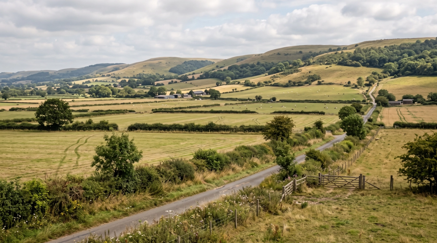
South of Ayr the coast gets quieter, running through Maybole country towards Girvan, where Ailsa Craig stands out in the water. Inland, the land rises to rough moor and forestry on the edge of the Southern Uplands. Arran lies off the coast, and the Cumbrae islands sit close to Largs.
Because Glasgow is close, many people come down by car for the day. The farmland in the middle of the county can look empty, yet it can be busy after dark at odd moments for no reason you can spot.
Getting about safely
The A77 is the main spine, running from Glasgow past Kilmarnock and on to Ayr, Girvan and Cairnryan. Parts are fast dual carriageway, and other stretches are single carriageway with long queues behind slow vehicles. The A78 follows the north Ayrshire coast through Irvine, Largs and Skelmorlie, and it can be steep, twisty and wet. The A76 and A71 cut inland to Kilmarnock and Cumnock.
Trains run from Glasgow Central to Ayr via Kilwinning and Prestwick, and on to Girvan and Stranraer. The line from Glasgow to Largs and Ardrossan is also well used. Evening services thin out, so check your last train before you leave. CalMac runs the Brodick ferry for Arran, and the departure port can change while harbour works are under way, so check the CalMac site before you travel. Ships can be cancelled in strong winds. Prestwick has an airport, so allow time around it.
The coast takes the full force of south-westerly weather. Gales and heavy rain can bring down branches, flood low roads and cut visibility. Inland B roads are often unlit, narrow and frosty well into spring. Signal fades in the hills behind Girvan and around Muirkirk. Keep the phone charged and tell a friend where you are heading.
Daylight in Ayrshire through the year
Typical times for Ayr, in UK local time, around the middle of each month. Use them to plan your journey home as well as your arrival.
| Month | Sunrise | Sunset | Dusk ends |
|---|---|---|---|
| January | 08:37 | 16:18 | 17:03 |
| February | 07:43 | 17:22 | 18:01 |
| March | 06:34 | 18:21 | 18:58 |
| April | 06:15 | 20:23 | 21:03 |
| May | 05:09 | 21:21 | 22:11 |
| June | 04:36 | 22:02 | 23:03 |
| July | 04:56 | 21:51 | 22:46 |
| August | 05:51 | 20:53 | 21:36 |
| September | 06:50 | 19:36 | 20:13 |
| October | 07:48 | 18:19 | 18:56 |
| November | 07:52 | 16:13 | 16:55 |
| December | 08:40 | 15:46 | 16:33 |
Dusk ends is when civil twilight finishes, usually 30 to 50 minutes after sunset in southern England and longer further north. After that you need lights. Times shift by a few minutes across the area.
The law and your safety
Wherever you are, the basics don't change. Get a clear yes from everyone. Tell someone where you're going. Stay sober. Keep out of sight of anyone who hasn't agreed to see you. Use condoms, and use a new one with each partner.
Questions about Ayrshire
Do you list dogging spots in Ayrshire?
No. This guide covers the area, not private places. We don't name car parks, lay-bys or woods, because other people use them too and visitors can end up in trouble.
Does the Ayrshire guide include Arran?
Yes, in a general sense. Arran and the Cumbraes are part of Ayrshire, but the ferry timetable is the key fact, because sailings can be cancelled in rough weather.
Is the A77 the only way to travel through Ayrshire?
No. The A78 covers the north coast, and the A76 and A71 serve the inland towns. Check live traffic before you leave, as one incident can back up the A77 for miles.
Which guide should I use for Galloway?
Past Ballantrae and Cairnryan, use the Borders and Dumfries and Galloway guide. It covers the A75, Stranraer and the Galloway hills.
Meet other adults in Ayrshire
Join free, add Ayrshire to your profile and message other adults nearby.
Join free and build your profileFree to join. Build a profile, browse, and message other adults.