
Dogging in Oxfordshire: area guide
Oxfordshire has a busy university city at its heart, ringed by Cotswold hills, Thames meadows and Chiltern slopes. This guide covers the roads, rail links and daylight hours for safer travel. It does not list private spots.
- The lie of the land
- Getting about safely
- Daylight through the year
- The law and your safety
- Questions about Oxfordshire
- Nearby areas
The lie of the land in Oxfordshire
Oxfordshire centres on Oxford, with Banbury in the north, Bicester and Witney close by, and Abingdon, Didcot, Wantage and Henley-on-Thames to the south. Chipping Norton and Burford sit in the west. The county is mostly rural, and its towns are small compared with Oxford itself. Villages and market towns sit a short drive apart, so most trips here are quick hops along minor roads.
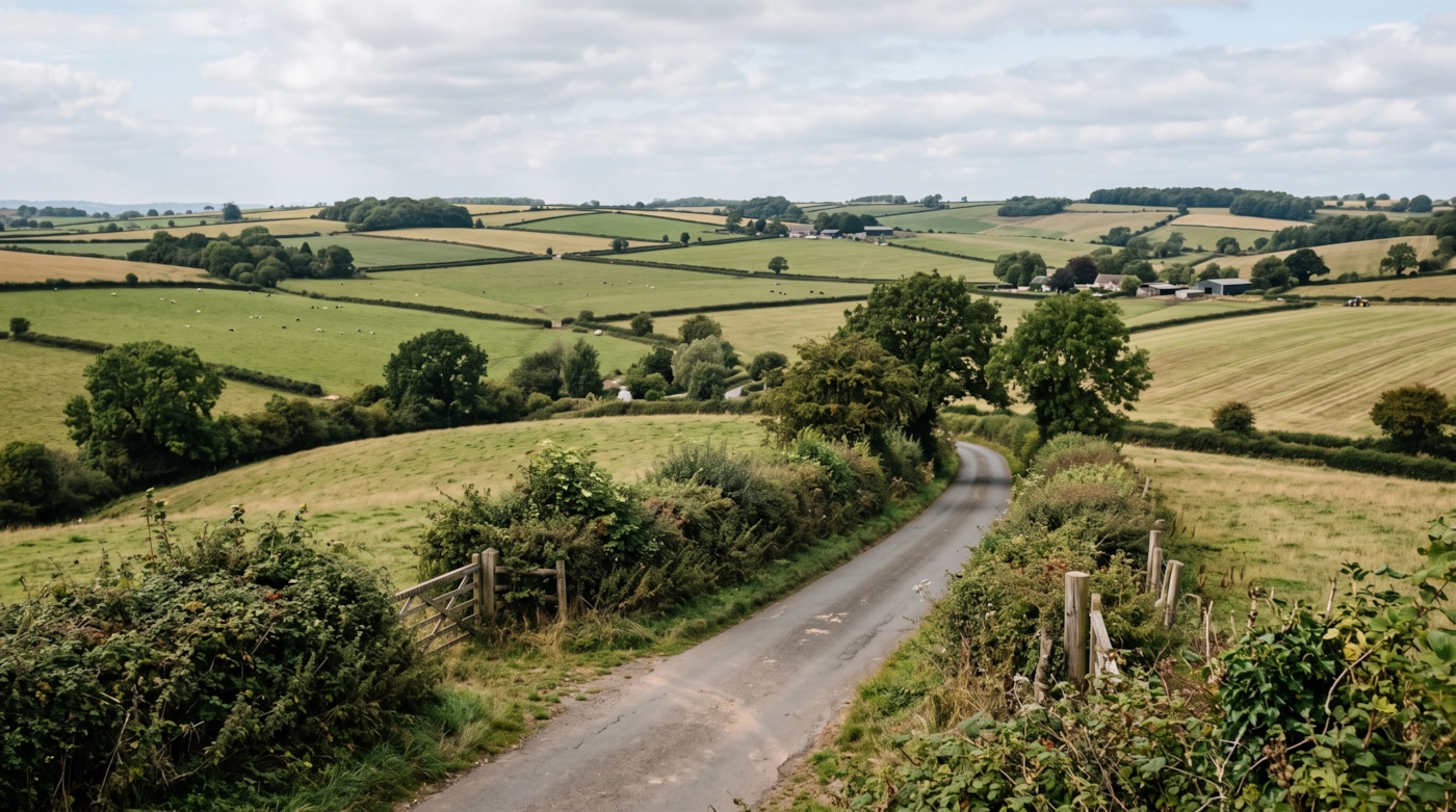
The Cotswolds National Landscape covers the north-west, with stone villages and limestone ridges. The North Wessex Downs rise in the south around Wantage and the Ridgeway, and the Chilterns edge the south-east near Watlington. Between them, the Thames and its tributaries cross wide, flat floodplain, including the Cherwell and the Evenlode.
Traffic comes from London, Birmingham, Reading and Swindon, since the county sits on several long routes. Quiet lanes and field edges can fill up without any obvious reason, particularly close to the main roads.
Getting about safely
The M40 crosses the east side past Bicester and Banbury. The A34 runs north to south past Oxford and Abingdon, linking the M40 with Newbury and Winchester, and any crash on it causes long closures. The A40, A44, A420 and A4260 fan out from Oxford, and the Oxford ring road backs up at rush hour.
Trains run from London Paddington and Marylebone to Oxford, and on to Banbury and the north. Didcot Parkway is the main hub on the Great Western line, and the Cotswold line serves Charlbury and Hanborough. Last trains leave earlier than many people expect. Check yours, or book a taxi home, before you set off.
The Thames, Cherwell and their meadows flood in wet winters, and low roads can close with little warning. Towpaths are dark, uneven and slippery. On the high ground, Cotswold lanes are narrow, with drystone walls on either side and no lighting. Phone signal can fade in the valleys, so keep your phone charged and share your location with a friend.
Daylight in Oxfordshire through the year
Typical times for Oxford, in UK local time, around the middle of each month. Use them to plan your journey home as well as your arrival.
| Month | Sunrise | Sunset | Dusk ends |
|---|---|---|---|
| January | 08:05 | 16:23 | 17:03 |
| February | 07:20 | 17:18 | 17:54 |
| March | 06:20 | 18:08 | 18:42 |
| April | 06:09 | 20:01 | 20:37 |
| May | 05:13 | 20:50 | 21:33 |
| June | 04:46 | 21:24 | 22:13 |
| July | 05:04 | 21:17 | 22:02 |
| August | 05:49 | 20:28 | 21:06 |
| September | 06:39 | 19:20 | 19:54 |
| October | 07:29 | 18:11 | 18:46 |
| November | 07:23 | 16:14 | 16:52 |
| December | 08:05 | 15:54 | 16:35 |
Dusk ends is when civil twilight finishes, usually 30 to 50 minutes after sunset in southern England and longer further north. After that you need lights. Times shift by a few minutes across the area.
The law and your safety
England and Wales: sex outdoors is not automatically an offence. It can become one if members of the public are likely to see it. Charities such as the Terrence Higgins Trust give the same advice. Read their public sex environments guide.
Wherever you are, the basics don't change. Get a clear yes from everyone. Tell someone where you're going. Stay sober. Keep out of sight of anyone who hasn't agreed to see you. Use condoms, and use a new one with each partner.
Questions about Oxfordshire
Is dogging legal in Oxfordshire?
Having sex outdoors is not automatically a crime in England and Wales. It becomes an offence when members of the public can see it, for example outraging public decency or indecent exposure. Sex in a public toilet is an offence. This is general information, not legal advice.
Do you list dogging spots in Oxfordshire?
No. This guide covers the area, not private places. We don't name car parks, lay-bys or woods, because other people use them too and visitors can end up in trouble.
Does this guide cover the Cotswold part of Oxfordshire?
Yes. The guide covers the whole county, including its Cotswold towns and villages. For the rest of the Cotswolds, see the Gloucestershire guide.
How quickly can the A34 become gridlocked?
Within minutes. One crash can stop it for hours, and drivers then spill onto village lanes. Check live traffic before you set off, and allow extra time to get home.
Which guide should I use near Swindon or Reading?
Swindon is in Wiltshire and Reading is in Berkshire. Use those guides once you cross the border.
Meet other adults in Oxfordshire
Join free, add Oxfordshire to your profile and message other adults nearby.
Join free and build your profileFree to join. Build a profile, browse, and message other adults.